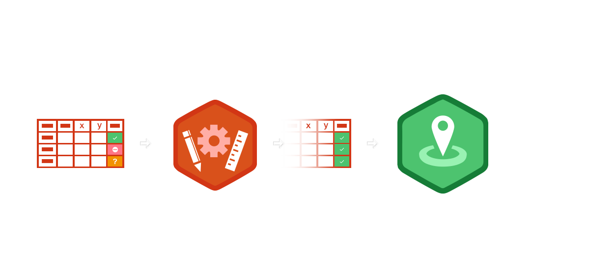
The process
Geocoding is the definition of the geographical location of a postal address by latitude and longitude (XY coordinates).
Precise geographical positioning of an address depends not only on the information provided but also on the comprehensiveness of reference data.
Geocoding operations are carried out automatically, however large the data set. However, additional manual operations may also be necessary.
The outcome of the geocoding process is that each address is assigned a relevance indicator. Addresses which cannot be automatically geocoded will be shown on-screen, allowing you to process them manually.
The newly generated addresses can then be retrieved and imported into Google Maps or any other mapping software. The addresses can be projected onto the background map of your choice.

Geocoding is based on three elements

- Postal addresses to geocode
- Geocoding engine
- Map reference
The addresses are enriched with geographic coordinates, the format of which is homogenous and identical to the mapping repository. The geocoded address files are ready to be imported into BI software for analysis.


